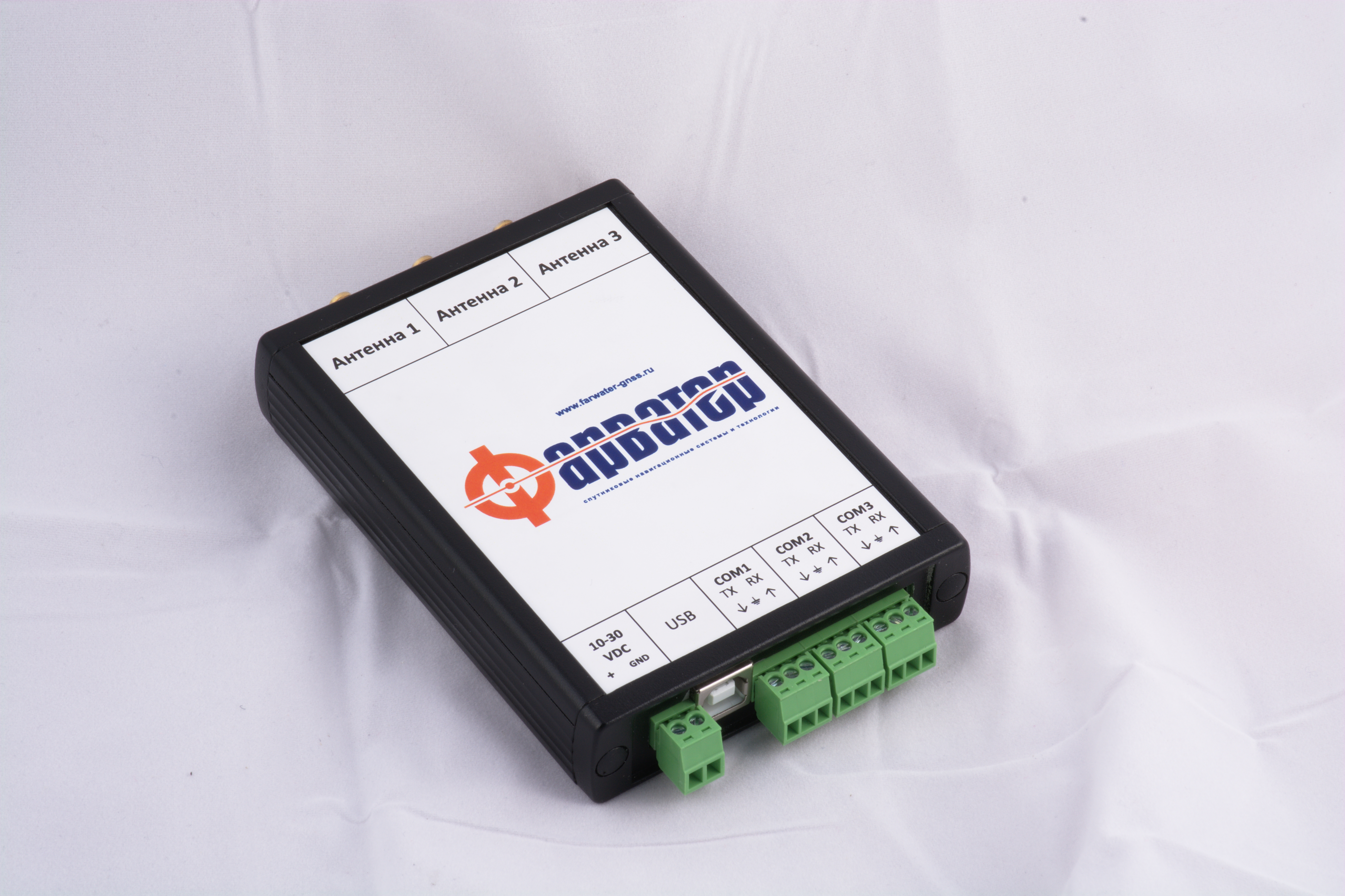
Farwater-K3X
The “Farwater-K3X” object spatial orientation sensor is designed for round-the-clock all-weather determination of the current coordinates, course, roll and trim, time and speed vector based on the radio signals of the global navigation satellite systems GLONASS, GPS, and Galileo, which are open to consumers.
Technical data:
|
The average square error of determining the current values of navigation parameters with fully deployed GNSS (in the absence of selective access to the signal) and no shadowing, no more than: |
1. current coordinates:
2. height:
3. time 100 ns; 4. speed 0,02 m/s; 5. spatial orientation angles:
|
|
|
|
Communication protocol – RS-232
Text protocol – NMEA-0183, BINR.
| Power requirement (max) | < 2,5 Wt |
| Power supply |
10-30 VDC |
| Overall dimensions |
130×82×22 mm |
| Weight |
0,21 kg |
